Merritt Island National Wildlife Refuge is on Cape Canaveral between the Indian River lagoon and the Atlantic Ocean. The Indian River is one of the most productive, diverse lagoons running along much of the east coast of Florida. This fellow is cast netting for some dinner at sunset.

Cast netting Indian River lagoon
East of the river is a complex system of wetlands and barrier islands called Cape Canaveral. The Kennedy Space Center and Merritt Island National Wildlife Refuge are home to mangroves and lots of alligators, manatees, bobcats,wintering birds, and assorted other critters.

Blue hour dusk, Merritt Island National Wildlife Refuge, Florida
Along the coast is Canaveral National Seashore. Jutting well out into the water, it was undoubtedly seen by Ponce de Leon. While long thought he first landed north near St. Augustine 500 years ago, it is now believed it was just south of here.
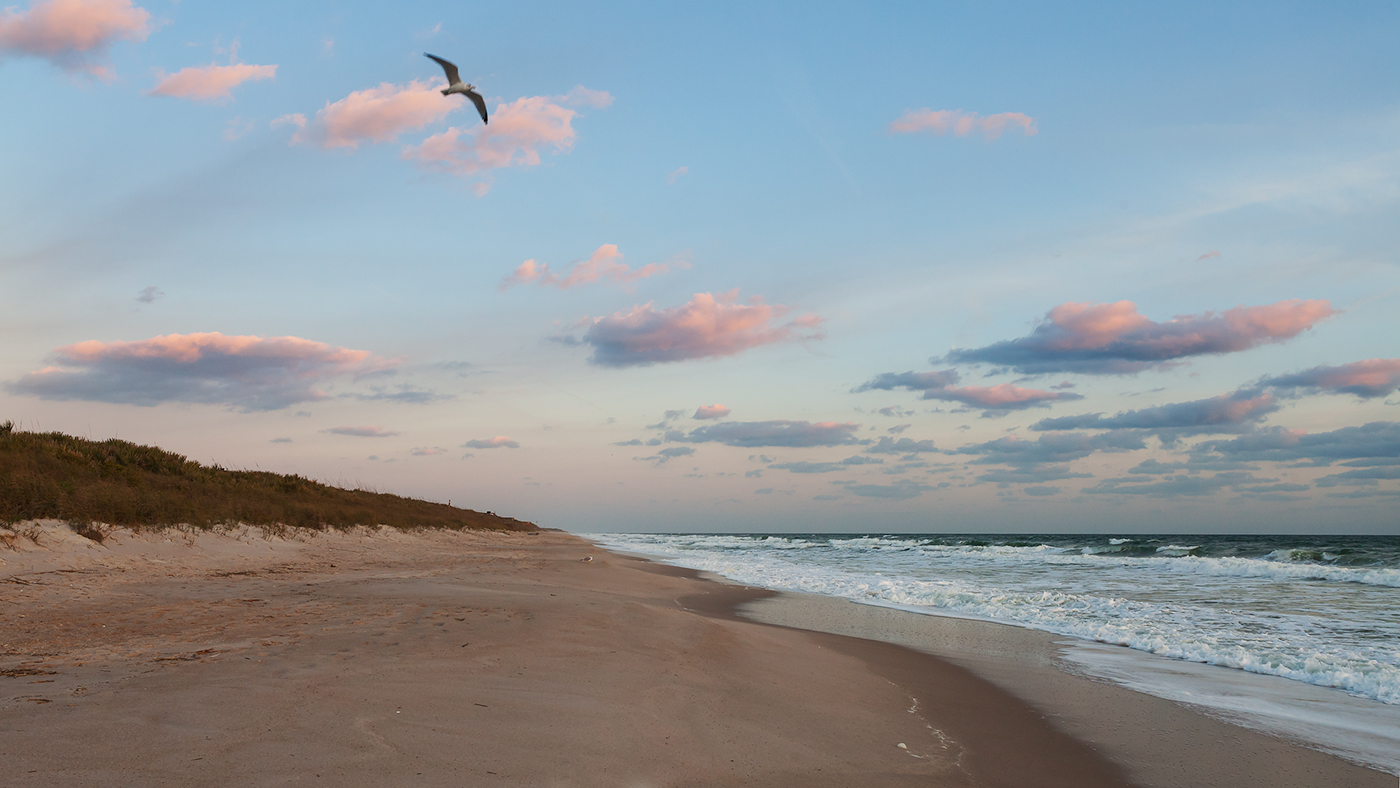
Canaveral National Seashore