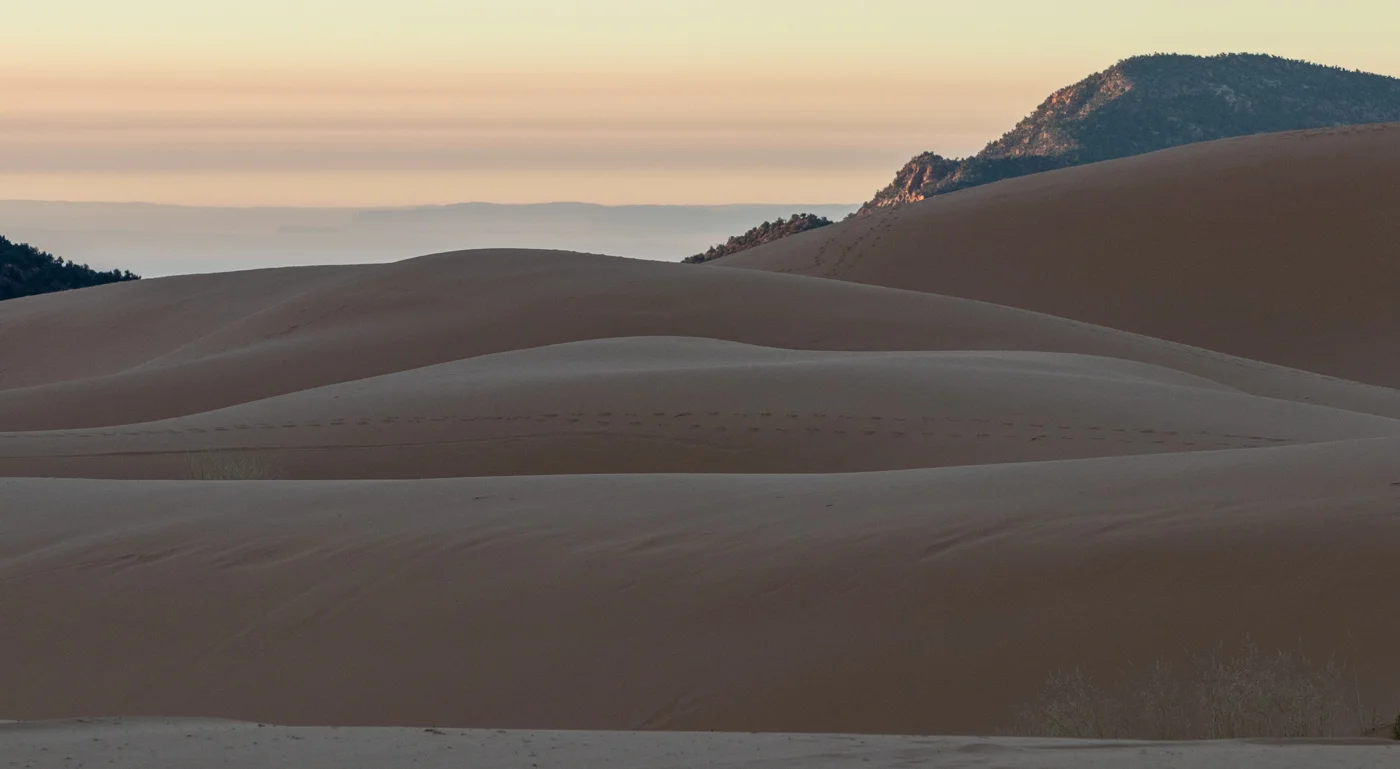
As I was photographing in southern Utah, I had worked my way east and crossed into northern Arizona. I was getting ready to retrace my path back to the hotel, when I noticed clouds gathering in the south. I took a chance that a return route via the north rim of the Grand Canyon might yield a nice sunset. I checked to make sure the road was open and headed out. As I drove, smoke gathered, and I was soon driving through the darkness of a prescribed forest burn. Photography wasn’t looking too good. I got through the burn and the clouds were still up, but a mist was gathering. I took a chance there would still be a colorful sunset and drove to the canyon.
There are fewer visitors to the north rim, and I discovered very few on the cold, mid-November evening. I was joined by a few photographers and viewers, but a mist was obscuring the view, and the sky was slate gray.

Bright Angel Point, Grand Canyon National Park
Two guys were scouting the run they would make the next day. To the South Rim and back!! Fourteen miles and nearly 6,000 feet down, then over twelve miles and 5,000 feet up, and then come back. Unbelievable.
I was content to stay on the rim and take some images. The conditions were improving.

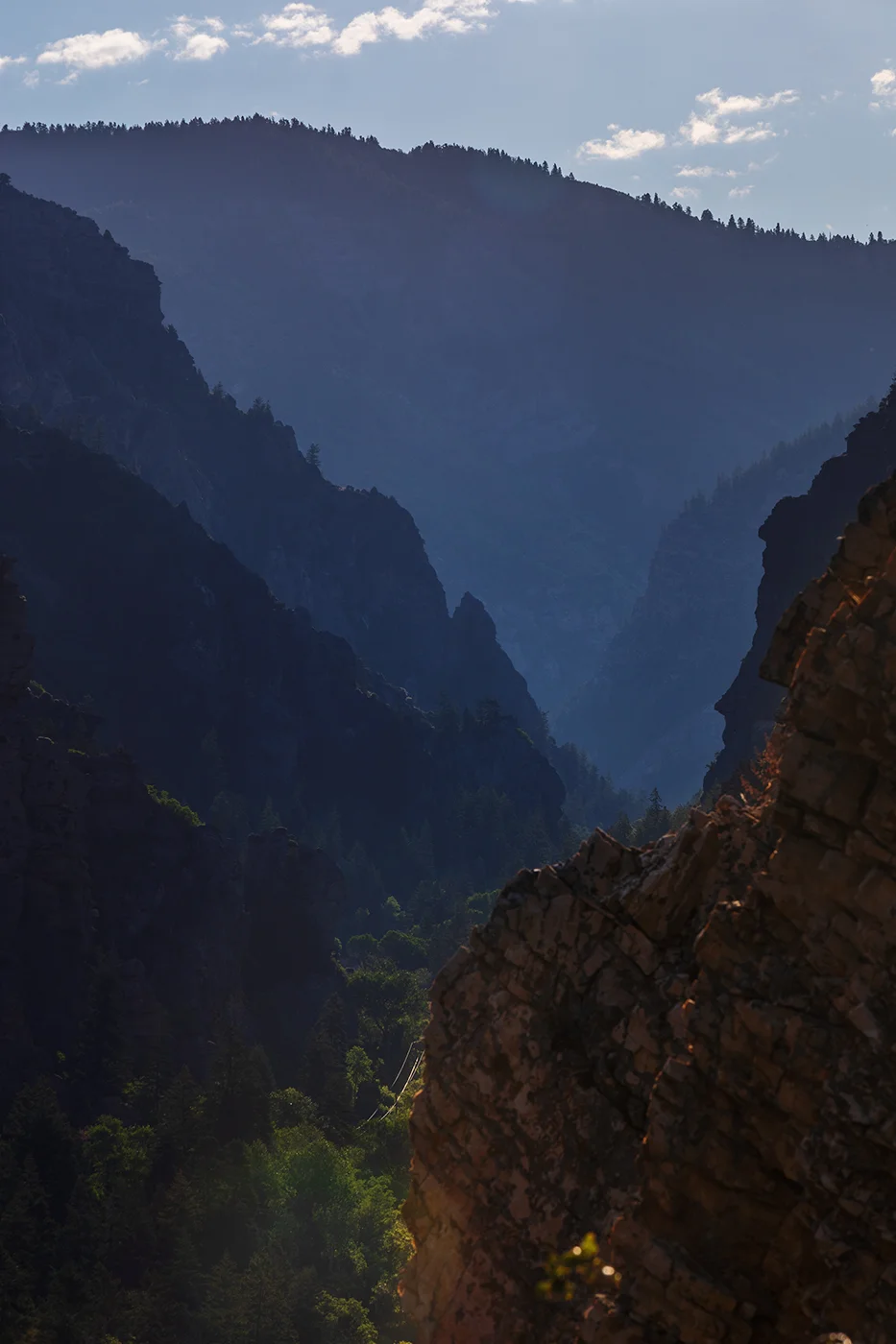
View from the North Rim of the Grand Canyon
The winter sun hit the southwest rim. Most everyone had left the cold night except for one other photographer and his French Bulldog who had a great deal of interest in my shoes—and likely my friend’s bulldog I had visited a few days before!

Sunset, Grand Canyon
Then, a sight I’d never seen before. The sun seemed to melt, dissolve and whirl away.

Whirling Sun
By now, I was alone on the rim. But the light show often doesn’t end after the sun sets. After the drama, a simple coda. And then perhaps, some stars.

Grand Canyon dusk