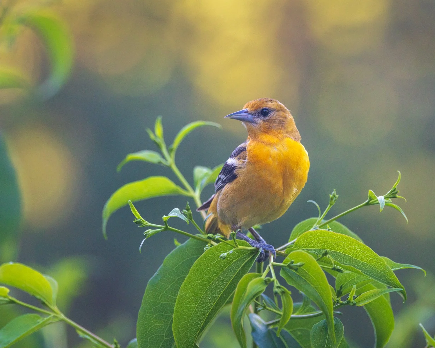
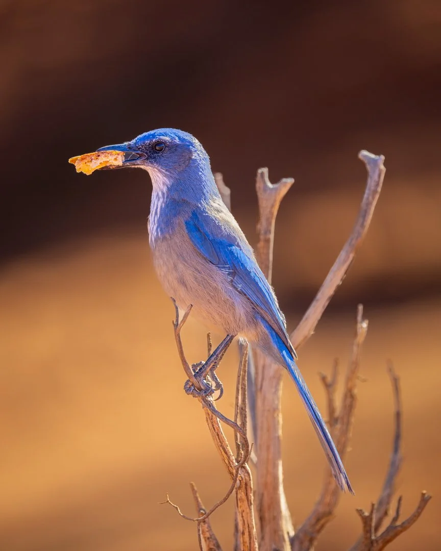
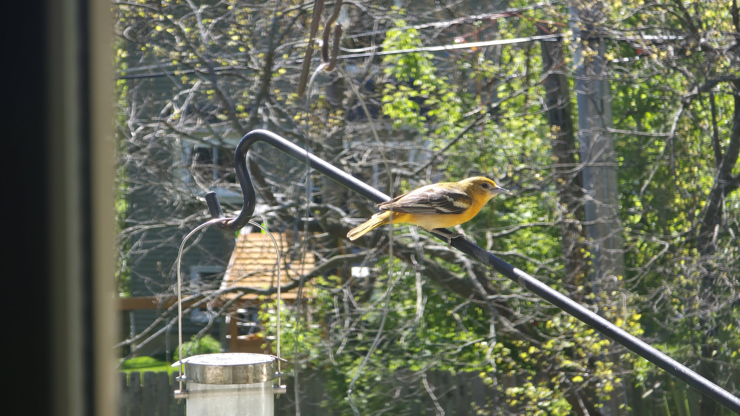
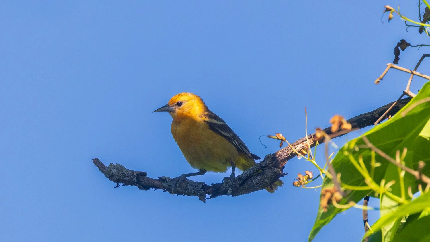
My love affair began on May 11 when this lady showed up at our kitchen window. We have several feeders just outside, and I fortunately had my phone camera in hand when I saw our first orioles of the year.
The next morning, I’m nearby and I hear tapping on that window. I go over to look and see nothing. Then I notice, partly hidden by a planter by the window, the oriole tapping on the window. She does it several times, but when I get my phone ready to video, she flies away. The same thing happens the next morning. “Hey Google, why does an oriole tap on the window?” Google tells me a male oriole may be defending his territory. “But Google, what about a female oriole?”
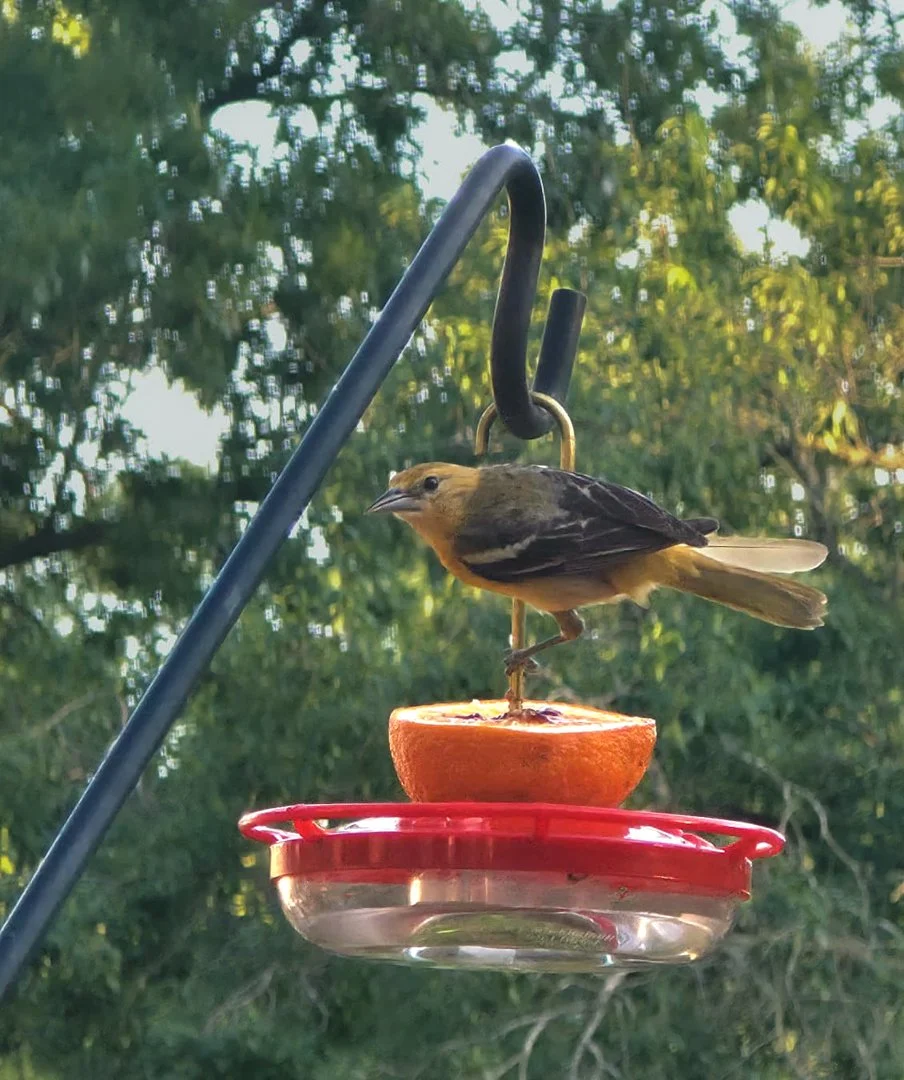
Google says orioles are highly intelligent birds and may be returning to a place food had been before. If the food’s not there, they may express their frustration. While I had put bird seed and suet out, I hadn’t put any fruit out this year as I had in the past. So I cut an orange in half, put some grape jelly in it.
Her request was fulfilled.
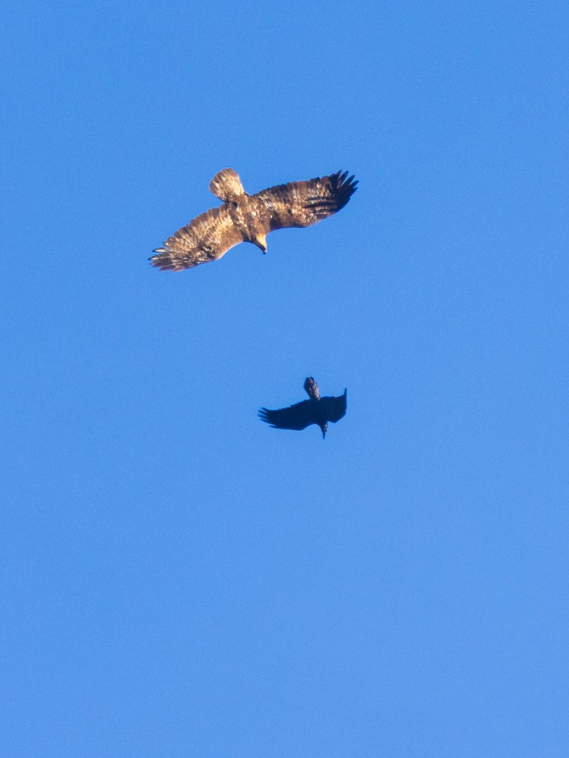
The orioles were really singing to each other, but the male would make only very brief appearances.
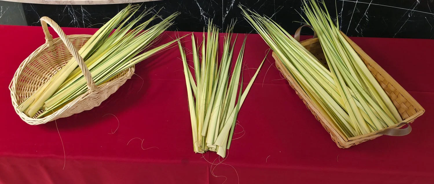
The orioles had quite a chorus with their beautiful songs. This was about one month after Palm Sunday, which in our church you take a small palm frond home. I had placed a couple fronds in a planter and happened to take it outside on the porch. I looked out and saw the female oriole trying to break pieces off, I assumed for their nest. She tried and tried, but couldn’t. Eventually, she flew off with the whole two foot piece, but it was too heavy and she soon dropped it. I picked it from the lawn, broke some into smaller pieces and hoped she would take them for the nest. Some disappeared. I hope they are part of their nest.
Orioles make beautiful hanging nests. I suspect which tree it is in, but haven’t been able to find it. I figured it was now time to give my new friends names — Cali and Rip. Perhaps baseball fans will understand why I gave the Orioles these names as an honor to an all-time great player. Cali was very protective of her area and one day I saw another female oriole come by and Cali quickly chased her off.
A few days later, squirrels had gotten the oranges, and Cali knocked on the window to let me know I needed to get more out. Once in a while, Cali would go to the feeder on our window.
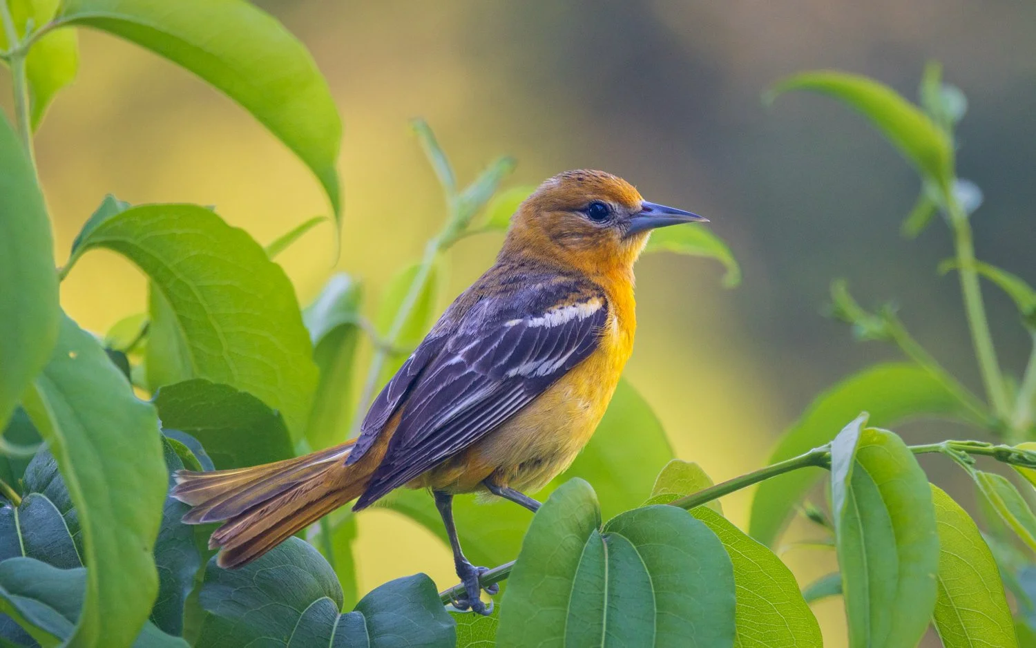
Cali and Rip would fly in the trees in the yard catching bugs. Cali would pose occasionally, but Rip moved too fast for a photo.
I’d sit on the porch with my morning coffee, and Cali would stop by. We’d chat a bit as she kept her eye on me.
She would often have a bit to say.
It’s a nice way to start the morning with a visit.
I keep hoping to see some baby orioles by the feeder one day, but for now I’m very happy to see Cali and catch a glimpse of Rip once in a while, and listen to them chatter and sing.