You may have noticed a new watermark on my images. My son Dan and his fiancee Melina gifted me with this graphic designed by a friend of theirs, Hannah Bess Ross. Many Native American cultures have totems or tonalii which are spiritual links to an animal. My link is to this tall, ancient bird.

Sandhill Crane, Virgil Grissom Wetlands, Florida
This fellow, nearly five feet tall, let me sit in the grass and watch him dig for insects while getting his portrait with a wide angle lens. Sandhills in Florida become accustom to humans and have even eaten out of my hand. While some Sandhills live year round in Florida, most migrate to the northern U.S. and Canada. An eastern migration route spends several weeks south of Lake Michigan in Jasper Pulsaki Wildlife Refuge in northern Indiana feeding on leftovers in the surrounding farm fields.

Corny landing
Fossils of birds nearly identical to the Sandhill are over 10 million years old. The Sandhills’ call is loud, ancient, and unforgettable. Click here for their flight call Our home is on the migration path, and I’ve heard their call in my house and gone outside to see hundreds of cranes far up in the sky on the move.
The birds mate for life, and you can find pairs doing elaborate dances jumping in the air, spreading their wings, and calling to their mate.

Moondance
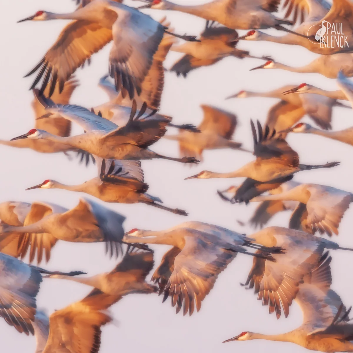
Jasper Pulaski sunset flight
The western migration route funnels the cranes along the Platte River in Nebraska, and many winter along the Rio Grande in New Mexico or head further south into Mexico. The cranes usually spend the night in water to keep away from predators. At Bosque, near dawn, thousands of cranes and geese explode in flight from the pools and fly to nearby fields. Last week’s post had an image of snow geese on a dawn take off.

Cranepool, Bosque del Apache National Wildlife Refuge, New Mexico
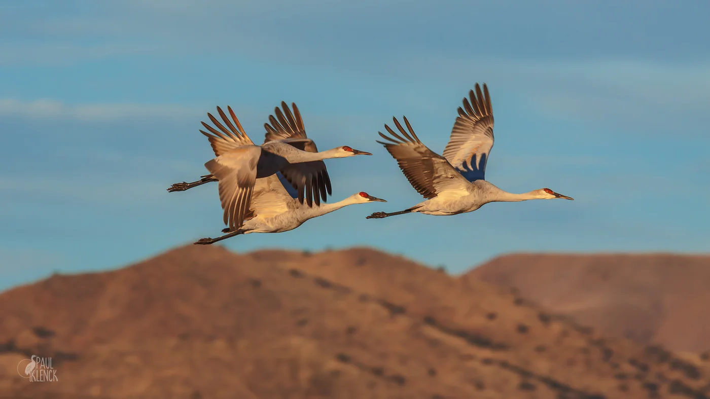
Sandhill Trio

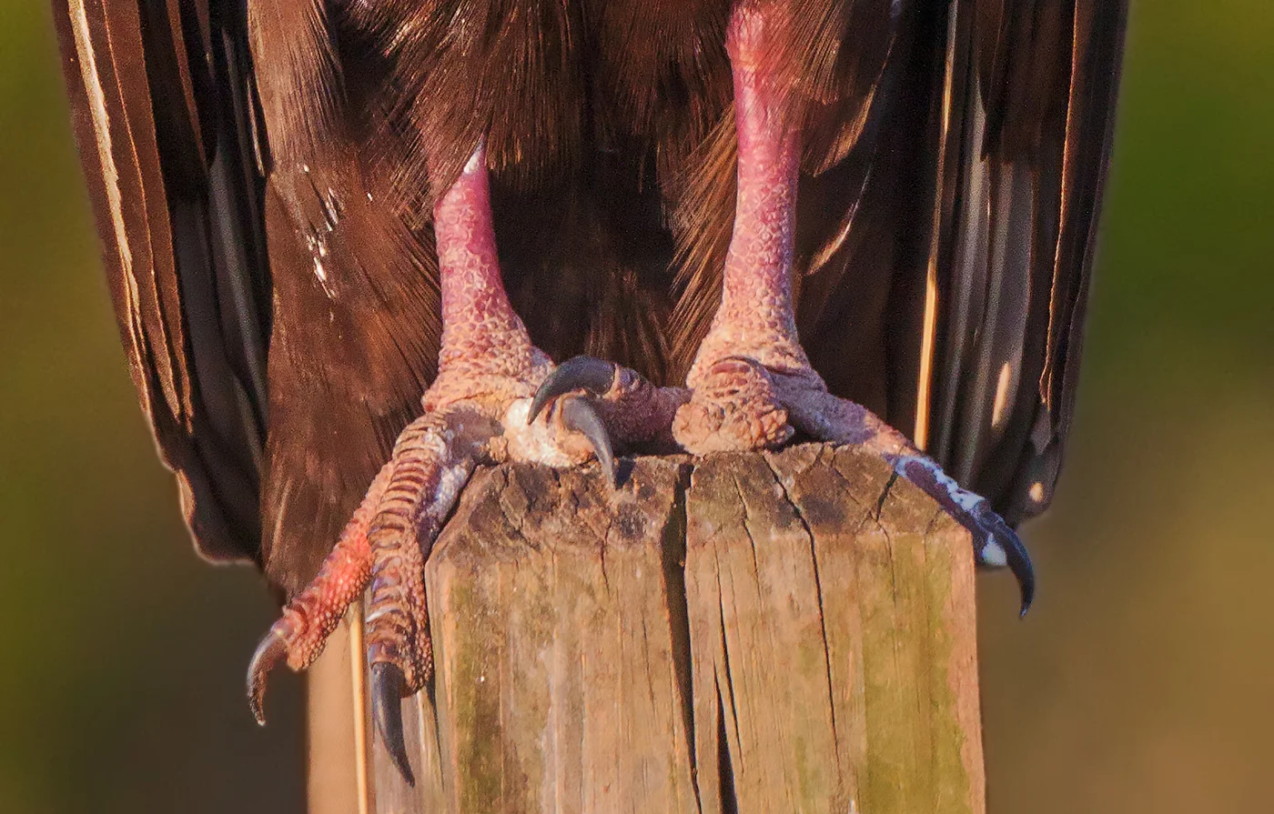
The fellow in the first image let me collect some close up shots along with the wide angle.

Close up time