A gift of travel is finding spots on maps that grow and come alive. As I planned earlier trips to the area, Capulin Volcano National Monument hung up on the northwest corner of the map of New Mexico just south of Colorado. I kept looking at the spot, and wanted to visit, but the logistics just did not work out on prior trips. On this trip it would be the final stop before leaving New Mexico.
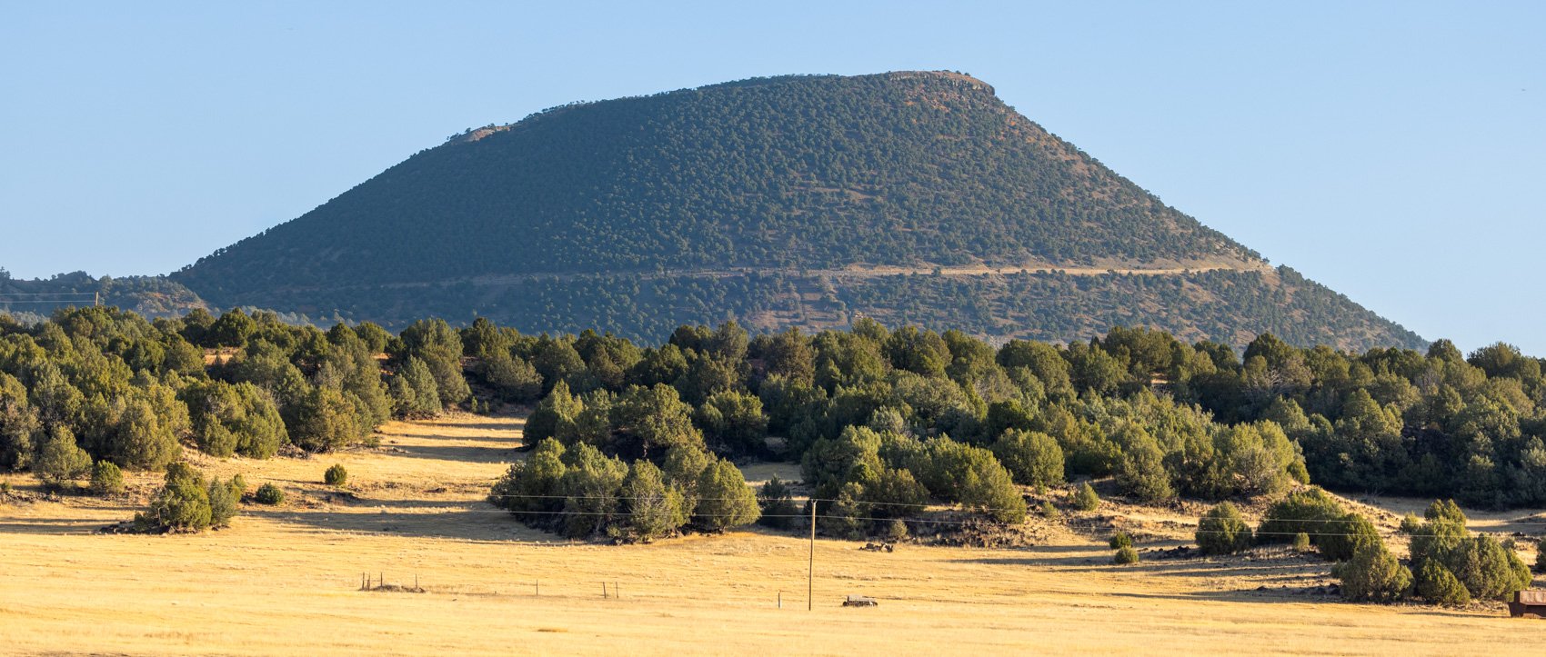
Capulin Volcano
Approaching from the south in the morning, you can see the road that winds up the cinder cone. The road ends on the little bright spot on the top left. From there, you can hike a mile around the top ridge or head down into the crater.

Capulin Volcano crater
By finally scheduling a stop here, I was lucky to arrive at peak autumn color at the end of October. Looking down to the lava flow plateau below the rim trail, the clusters of fall color popped out. Capulin erupted about 60,000 years ago, so enough time has elapsed for soil to level the ground and plants to grow.

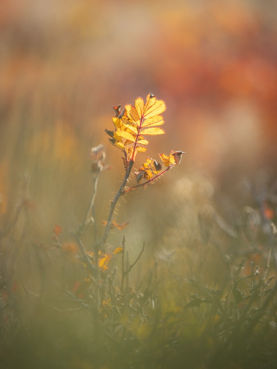
And more color erupts right at your feet.
The pinyon pine is the state tree of New Mexico. This one on the rim likely gave lots of nourishing nuts to birds, squirrels and deer over its life. It now provides some drama to the view.

In all directions from the rim, a smooth plateau of old lava flows extend to more distant cones and shield volcanos. All the dots on the map came alive.


