In 2017, I viewed my first total solar eclipse in Shawnee National Forest in Southern Illinois. On April 8, 2024, the next total solar eclipse will track from Texas to New York, and the place the path will cross the 2017 eclipse is Shawnee NF. I plan to go back to the same spot. While doing some planning for that trip, I discovered there would be an annular solar eclipse in October 2023 tracking from Oregon through Texas. Unlike a total eclipse, in an annular the moon is too far away from earth to completely cover the sun. What results is often called a “ring of fire” as the edges of the sun shine around the moon. Seeing that seemed like a good excuse to plan a trip back to the Four Corners which would be right on path of the eclipse.

Sunrise Kansas
To view an eclipse, of course, you want clear skies, and I hoped the desert southwest would deliver such weather. My first sunrise in Kansas on the drive west was a good omen.
I’d be staying in the Navajo Nation for the event. Many Navajo believe it is bad fortune to be outside during an eclipse. Some places, such as Monument Valley, would be closed to visitors. As I wrote in this week’s Tuesday Travel post, I decided to go to a remote area called Lower Butler Wash in Bears Ears National Monument. Turned out, many people had the same idea. My second night camping in the wash, there were seven other vehicles around me—more than I’d seen on entire day on my prior visit. Many more were parked up and down the washboard road.
Campsite near Comb Ridge
The day before the eclipse, after the hikes I wrote about in Tuesday’s post, I drove the sandy, slick rock, rutted road out to the highway to see some other petroglyphs and to go to the small town of Bluff. Some Navajo were taking advantage of having so many people visiting and had set up some cooking tents. Pork on Indian Fry Bread and a hatch chile was a clear invite that I would not need to cook dinner.

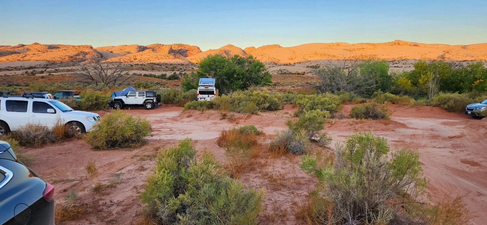
Driving back to Comb Ridge, I began thinking that I might leave the area the next morning before the eclipse since it would not be the isolated location I planned, and I’d not found a place I wanted to use as a foreground for images during the event. On my turn of the highway down Lower Butler Wash Road, I saw three motorcycles in my rearview mirror, and decided I’d let them go ahead since they’d likely navigate the rough road faster than my SUV. As they passed, I thought, “These guys are quite a bit older than me, and wow, I didn’t think you could get that much gear on a motorcycle.” A bit down the road, one of the cyclists stopped at the top of a hill while the other two went down a steep, very sandy drop and I stopped behind him to wait. Soon, boom, boom, both guys tipped and fell with their overloaded bikes on top of them. Neither were hurt, but we had to help lift their bikes off them as they walked the rest of the way down. My decision was made. I was not going to get caught in the inevitable traffic mess that would occur after the eclipse.

Sunrise on Butler Wash Road
Despite a questionable forecast, Saturday morning did not have a cloud in the sky. Shortly after the sun cleared the eastern ridge, I headed south. Butler Wash empties into the San Juan River, a major tributary of the Colorado. I read there were some ancestral homes and petroglyphs on the south side of the river, so I scouted there to find them and watch the eclipse.

Composite image of annular eclipse, Navajo Nation
In this space, Chance and I were the only ones around to watch the event. (We never did find any ruins, though we did see some old Navajo hogans.) In the image above, the trees grow along the San Juan River in front of us. The sun was actually behind us, but there were no close features to picture there since the sun was high in the sky. The composite helps see the event and the location. In the image, the eclipse started with the lower left image of the sun as the moon dropped in from the top and continued its journey across the face of the star. In the top right image, the moon is exiting its transit.

Syzygy
Although Chance and I and some Navajo horses were the only ones in the area, there was a campground on the north side of the San Juan. When the moon covered the sun, a cheer carried across the river. Somewhere else in the distance some drums began to beat. While it didn’t get dark as in a total eclipse, instead of clear-sky, mid-day desert light, the landscape looked as if night would descend soon. If you saw my Tuesday post of a petroglyph on the other side of the San Juan, the creator of that image 1,200 years ago created something that looked like the annular eclipse. It possibly meant This is one of those places.

I took many images when the moon just transited the edges of the sun. I’d read that you might get an effect of a ray or starburst as sunlight travelled through a mountain or crater on the moon. That didn’t happened, but you can see the rough bit of light on the moon’s south pole where some features are blocking the light near where the Indian Vikram lunar lander explored a couple months earlier.
If you’re anywhere near the path of totality in April, I’d encourage you to hope for clear skies and witness the event. For that, the moon will be much closer to the earth, covering the sun for a relatively long time. Also, this is a period of great solar activity, so there may be a big corona to view.
I thought the solar show was over, but a week later I got another solar ring. Planning this trip, I discovered that the following Saturday, the Trinity Site where the first nuclear bomb was tested, would be open to the public. It’s only open two days a year. More on that visit later, but as I finished seeing the monument and was returning to the car, I looked up to see two sun dogs on either side of the sun. As I walk on, an entire halo circled the sun. People were walking back-and-forth oblivious to the sky show. I stopped to some to say, “look at that!” Then, a cloud formed from a passing jet pierced the sun. This is one of those places.
