The Waterfall -- Mary Oliver

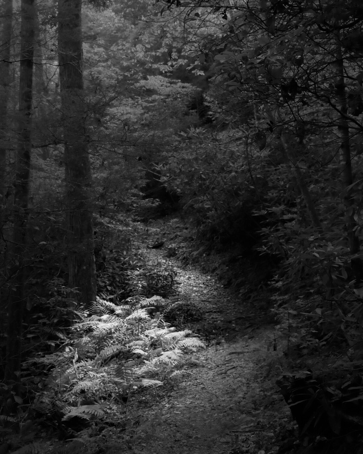
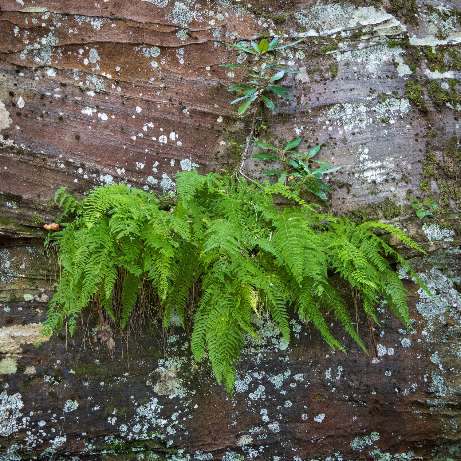
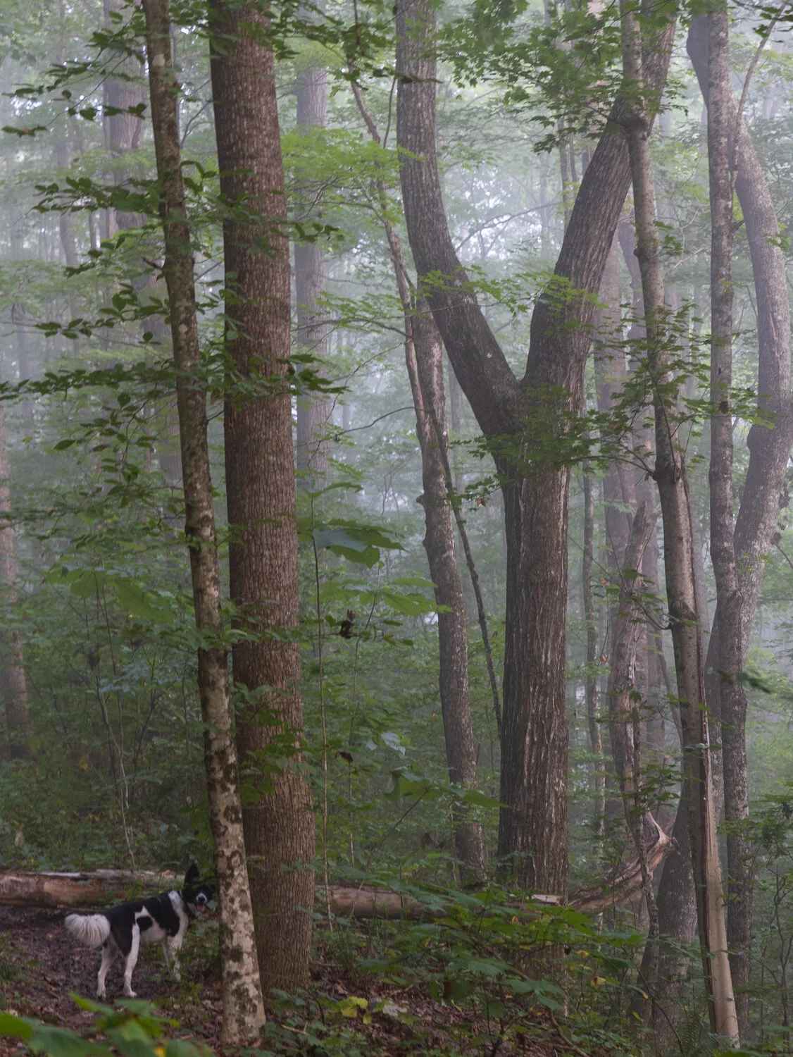
I’ve shared some images from Obed Wild and Scenic River, a national park area in the Cumberland Plateau in Eastern Tennessee. With lots of opportunities for whitewater sports and rock climbing, the hiking trails are limited. A ranger suggested nearby Frozen Head State Park for hiking. We were off to find some waterfalls.

It was a warm, humid, sunny afternoon, and contrasty light is not favorable for photographing waterfalls. However, the forecast called for some storms and rain, so we headed out hopeful that conditions would change. We past a couple small falls on the way, but the light was too bright, so perhaps a visit on the way back.

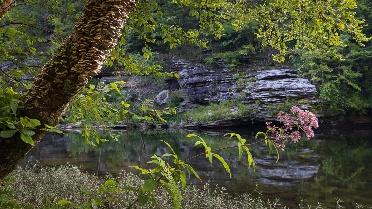
We got to a nice twin fall with a big pool as clouds were moving in. About ten young kids were playing around the fall as parents watched nearby. Chance and I took a seat to watch when thunder echoed between the mountains. And — no kids and nice light.
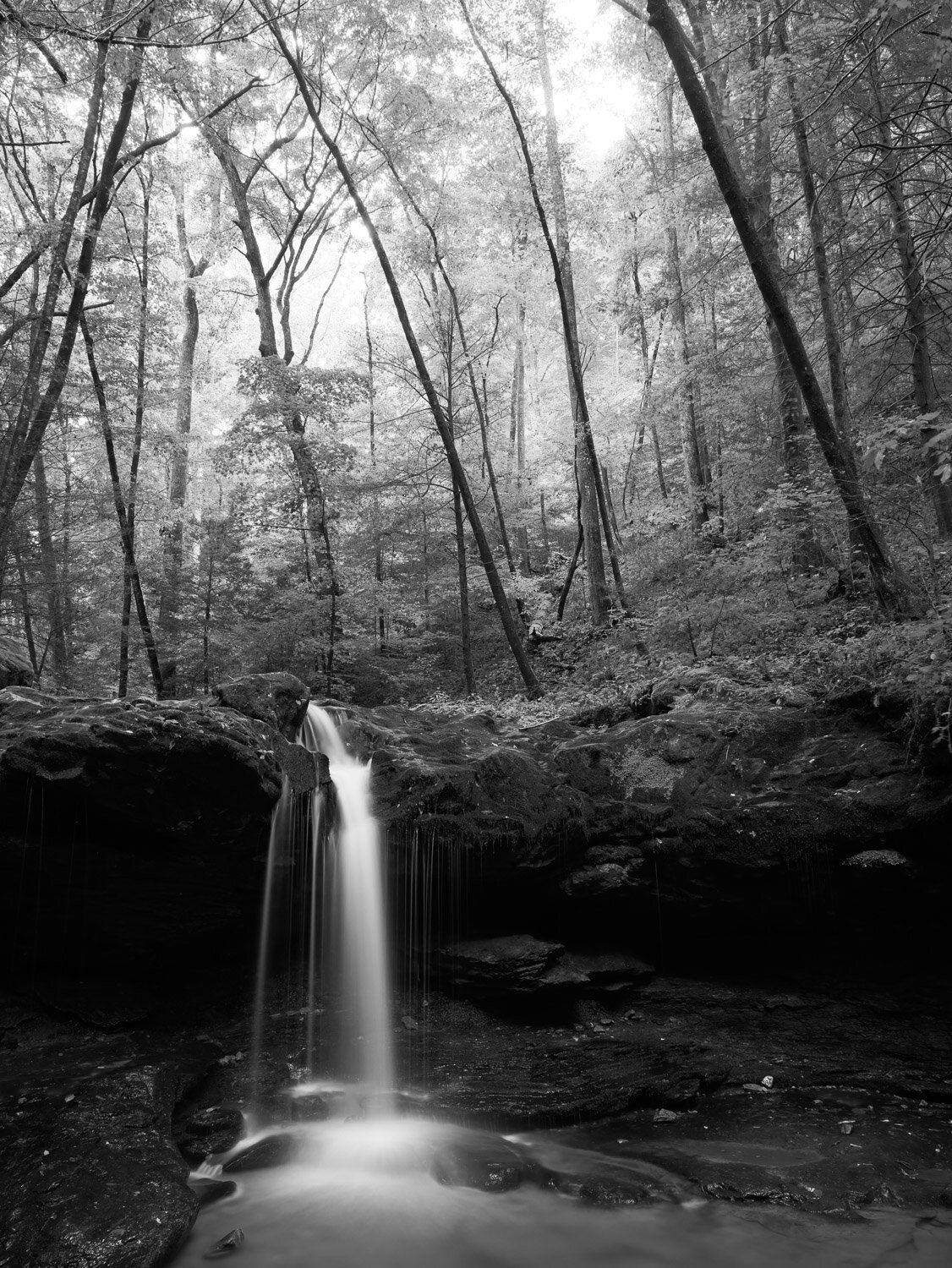
Debord Falls

Debord Falls

Few poets can imbue a poem with nature imagery as Mary Oliver. In 1991, Poetry published Oliver’s The Waterfall — For May Swenson. When Poetry received a massive endowment many years ago, all it’s prior publications went online so we can mine this treasure.

For all they said

I could not see the waterfall

until I came and saw the water falling,

its lace legs and its womanly arms sheeting down,

Frozen Head State Park Mary Oliver Waterfall-4763.jpg

while something howled like thunder,

over the rocks,

all day and night—

unspooling

like ribbons made of snow,

or god’s white hair.

At any distance

it fell without a break or seam, and slowly, a simple

Frozen Head State Park Mary Oliver Waterfall-4775.jpg

preponderance—

a fall of flowers—and truly it seemed

surprised by the unexpected kindness of the air and

light-hearted to be

flying at last.

Gravity is a fact everybody

knows about.

It is always underfoot,

like a summons,

gravel-backed and mossy,

in every beetled basin—

and imagination—

Frozen Head State Park Mary Oliver Waterfall-4789.jpg

that striver,

that third eye—

can do a lot but

hardly everything. The white, scrolled

wings of the tumbling water

I never could have

imagined. And maybe there will be,

after all,

North Prong Flat fork -4784.jpg

some slack and perfectly balanced

blind and rough peace, finally,

in the deep and green and utterly motionless pools after all that

falling?

Mary Oliver, The Waterfall, Poetry, January 1991

Cultural Landscape - Blevins Farmstead

In May, I posted some images from the Big South Fork National River and Recreation Area which sits in the Cumberland Plateau in Eastern Tennessee and Kentucky. When visiting the area again last month, I stopped at the Bandy Creek Ranger Station for some ideas on where to visit. I asked about the Oscar Blevins Historic Farmstead that I saw on the map. The ranger told me about it and gave driving directions, but then added there was a loop trail from the other side of the ranger station parking lot that went through the woods to the farmstead. He gave me a brochure about the route, and off we went.

“And dark, dim in the blue haze”

“And dark, dim in the blue haze”

The trail starts along Bandy Creek. The trail brochure speculated as the origin on the name. Apparently, an early 18th century family started a farm nearby, but soon abandoned it—or in the local dialect — “bandoned” it. The bandoned area eventually was called Bandy.

“There, in blotched and cobwebbed light”

“There, in blotched and cobwebbed light”

Some sandstone cliffs rise a bit above the creek. Archeologists determined that over many centuries natives took temporary shelter under some of the overhangs, but no tribes ever established long-term residence in the area. The land was not too fertile or hospitable for permanent settlement.

“where the Indian village was once”

“where the Indian village was once”

After winding through the woods for a couple miles, the trail comes to a “bandoned” road where if you search carefully there is evidence of a family cemetery and later Blevins farmhouses, but eventually, the woods give way to the 24 acre main Blevins farmstead.

“The meadow is bright as snow”

“The meadow is bright as snow”

Perhaps you’ve noticed the titles to the images. They come from some lines of The Signature of All Things, a 1949 poem by Kenneth Rexroth. He was a conscientious objector during WWII, and was called “the Daddy of the Beat Generation.” He was charged by an academic critic as belonging to the “bear-shit-on-the-trail school of poetry,” which Rexroth took as a compliment. So, a bit from the poem:

. . . .

The meadow is bright as snow.

My dog prowls the grass, a dark

Blur in the blur of brightness.

I walk to the oak grove where

The Indian village was once.

There, in blotched and cobwebbed light

And dark, dim in the blue haze,

Are twenty Holstein heifers,

Black and white, all lying down,

Quietly together, under

The huge tree rooted in the graves.

. . . .

Kenneth Rexroth, from The Signature of All Things, 1949

“I walk to the oak grove”

“I walk to the oak grove”

The image above is from where the trail first opens to the farmstead. The old fence line leads to the “new” farmhouse that was built in the 1950s. The Big South Fork NRRA was authorized in 1974, and began acquiring some of the land in the area. The Blevins began this subsistence farm in the 1870s. As with most of the farms in the rugged Upper Cumberland, farming was never much more than subsistence. The family sold the farm to the government in 1980, and the century’s worth of structures built on the land now tell some of the story of this cultural landscape. The National Park Service has an informative summary of the history of the farm and a long, detailed Cultural Landscapes Inventory it created of this farmstead in 1998. The NPS has many missions to preserve and protect wild lands for public enjoyment, but also is a repository for our national memory and heritage, and the cultural landscape heritage is a part of that mission.

“a dark blur in the blur of brightness”

“a dark blur in the blur of brightness”

The image above is of the 1879 farmhouse, which in many ways is in better shape than the 1950s home. Those aren’t dust spots on the picture, but some of the insects buzzing about. It was time to head back on the trail through the woods. Though it may have been more convenient to drive up to the farmstead, the walk through the woods provided a better context for the isolated, challenging life the farmers had in the rugged landscape.

“quietly together, under the huge trees rooted in the graves”

“quietly together, under the huge trees rooted in the graves”

National Rivers and Trails -- Cumberland & Obed

A few weeks ago, I wrote about the fire on the Cuyahoga River in 1969 leading soon thereafter to the creation of the EPA and the Clean Water Act. A year earlier, Congress had passed the National Trails Act, and established two national trails—the nearly 2,200 mile Appalachian Trail and the over 2,600 mile Pacific Crest Trail. There are now eleven national scenic trails and nineteen national historic trails such as the Oregon Trail, Trail of Tears, and Selma to Montgomery Trail commemorating important events in the nation’s history. The National Park Service oversees these 30 trails, and you can look at them at this map.

Sunrise on the Cumberland Trail

Sunrise on the Cumberland Trail

The NPS also recognizes over 1,300 national recreational trails. While currently only two-thirds completed, the Cumberland Trail will extend 330 miles from the Cumberland Gap where Kentucky, Virginia and Tennessee come together and will end at Chickamauga National Battlefield near Chattanooga. A stretch runs though the Obed Wild and Scenic River Park in Tennessee, and I got a campsite right next to the trail. You can see the trail blaze on the spur trail next to my car, so we could get an easy start hiking in the morning.

Rock Creek campground, Obed National Wild and Scenic River

Rock Creek campground, Obed National Wild and Scenic River

Also in 1968, the National Wild and Scenic River Act was passed to designate and protect free-flowing (non-dammed) rivers of natural, historic or cultural importance. Eight years later, Congress established the Obed Wild and Scenic River in eastern Tennessee as an NPS site. In addition to the trails, the park attracts white water running as well as rock-climbing in the 500 foot gorge walls. This campsite is on the Emory River, and the picture below is taken on the other side of the Emory and looking downstream to where the Obed River joins it and then continues running off to the right.

Confluence of the Emory and Obed Rivers

Confluence of the Emory and Obed Rivers

A bonus of camping next to a river is falling asleep to the sound of the whitewater. However, when waking near midnight, it took effort to hear the sounds of the river over the loud chorus of frogs and insects. I didn’t want to go back to sleep, but instead just listen to the amazing music. When dawn did arrive, the valley was filled with mist.

Emory River misty sunrise

Emory River misty sunrise

Emory River morning

Emory River morning

The campsite is near a place called Nemo’s landing and one of the few places you can get next to the river if you’re not paddling through it. After dipping to the river at Nemo, the Cumberland trail climbs back up the gorge wall, but you can hear the sound of the river below even as you climb higher on the gorge. When you get to some sandstone cliffs, and the whitewater is crashing over rock below, you hear the sound of the river echoing off the walls above as well as from the river below.

Nemo Cumberland Trail sandstone cliff black and white4532.jpg

By daylight, the frog chorus has been replaced by bird song and different insects continued to play their tunes. And though it’s hundreds of yards away and on the other side of the gorge, when a train roars by, it actually hurts your ears that have become accustom to the quiet of the woods.

Old hornet nests

Old hornet nests

Some of the mist and fog collects on the leaves and drops in loud splashes. Although larger, more popular National Park sites are experiencing record crowds hiking here was a solitary experience. Lat week in hiking nearly 25 miles on five different trails here and at neighboring Big South Fork National River and Recreation Area, we didn’t meet a single other hiker.

Misty woods

Misty woods

colorful floor

colorful floor

The trail followed the ridgeline along the Emory River and then turned to follow the Obed valley. While the Cumberland trail continued on its route north to Virginia, a spur trail led down to Alley Ford. This spur is wide and rocky and is the old wagon road bed leading up from the ford where the river could be crossed and a small community once lived. Periodic floods wiped out the tiny communities of Nemo and Alley’s Ford. When we also camped at Nemo last spring, a ranger said that two weeks earlier the campsite had been under six feet of water!

Approaching Alley Ford

Approaching Alley Ford

Swamp Milkweed along the Obed

Swamp Milkweed along the Obed

As the sun started to rise over the other side of the gorge, the mist began to burn off.

Sunrise on the Obed Wild and Scenic River

Sunrise on the Obed Wild and Scenic River

Time to rest and enjoy the view before climbing back up to the ridge.

Obed reflections

Obed reflections

Eventually, the Cumberland trail will run its full length across Tennessee, but for now segments come to an end. Thanks for coming along on a hike.

Emory River Gorge trail Obed trail end sign-5007.jpg