The New York Times just published an incredible interactive story on the 50th anniversary of the release of Joni Mitchell’s Blue. Along with great images, it has interviews of 25 artists inspired by her with links to the songs. She’s my favorite musician, so here are some images from our recent trip along with some of her lyrics.
Refuge of the Roads
And I went running down a white sand road
I was running down a white sand road
I was running like a white-assed deer
Running to lose the blues
To the innocence in here
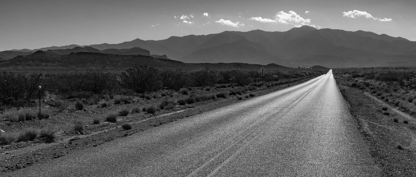
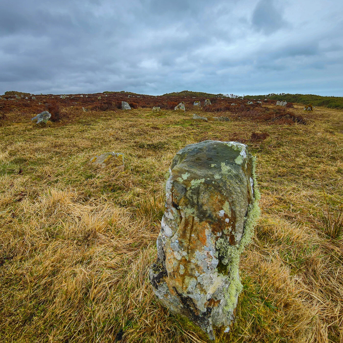
Highway 54, New Mexico
These are the clouds of Michelangelo
Muscular with gods and sungold
Shine on your witness in the refuge of the roads

Permian Plain, Carlsbad Caverns National Park
In a highway service station
Over the month of June
Was a photograph of the earth
Taken coming back from the moon
And you couldn’t see a city
On that marbled bowling ball
Or a forest or a highway
Or me here, least of all

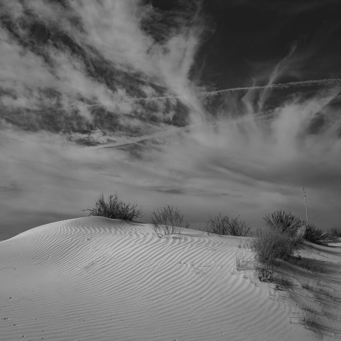
Moonrise, White Sands National Park, New Mexico
In straightening the river and constructing a wall along the Rio Grande River to protect our “homeland,” we destroyed the home ecosystems of wildlife that lived there. An effort to restore a small portion of those wetlands has been created in a water treatment facility south of El Paso.
Borderline
Every bristling shaft of pride
Church or nation
Team or tribe
Every notion we subscribe to
Is just a borderline
Good or bad, we think we know
As if thinking makes things so
All convictions grow along a borderline

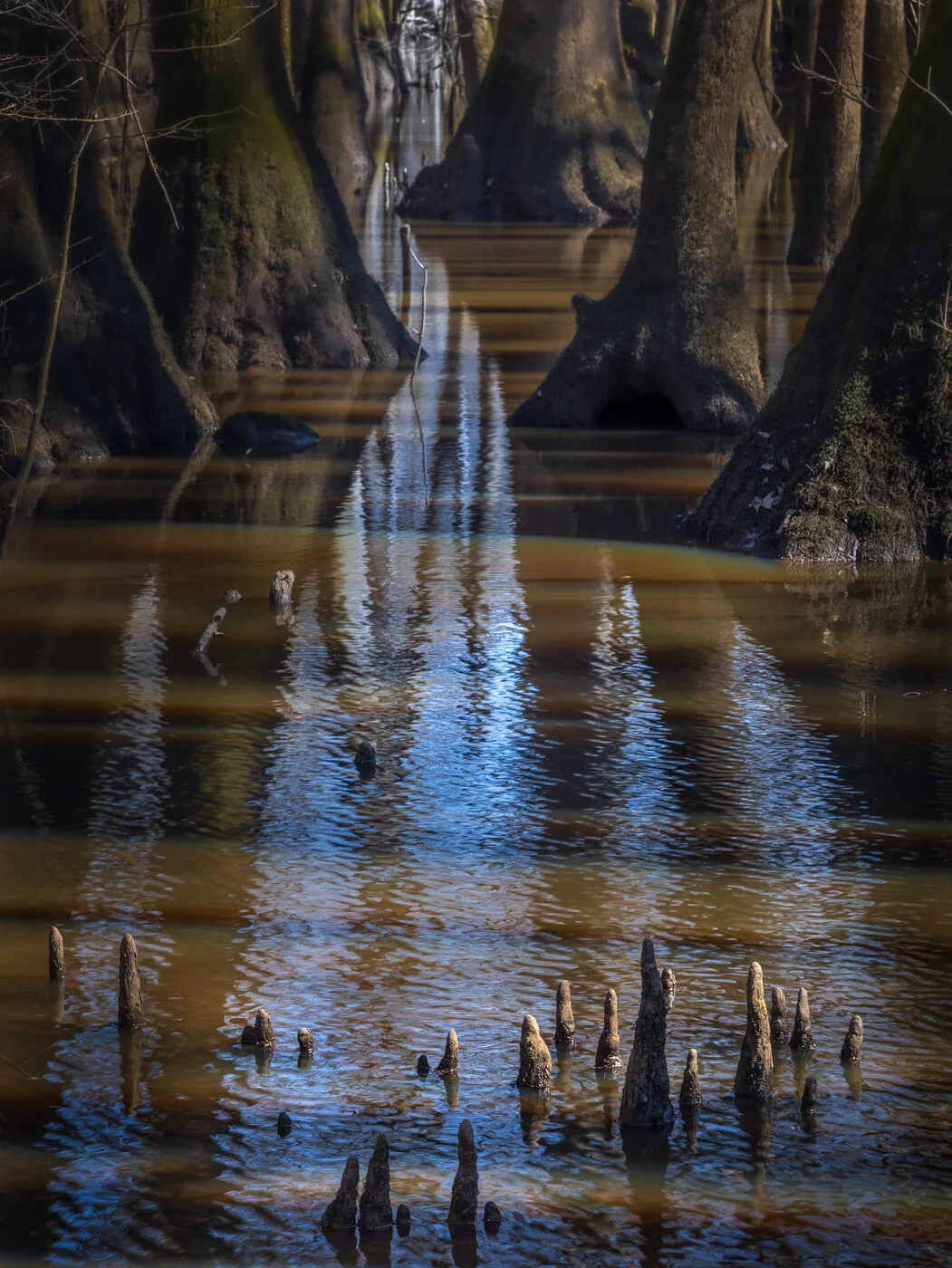
Black-necked Stilt, Rio Bosque wetlands, Texas
Incredibly, Joni was 21 when she wrote one of her most enduring songs. Both Sides Now was first commercially recorded by Judy Collins, and made the Top Ten in 1968. Joni didn’t like Collins’ version and she used the song to title her next album Clouds. However, the song has far greater depth when she rerecorded it in the her 50s, earning another Grammy, and the song then drew tears from Emma Thompson in Love Actually.
Both Sides Now
Rows and flows of angel hair
And ice cream castles in the air
And feather canyons everywhere
Looked at clouds that way

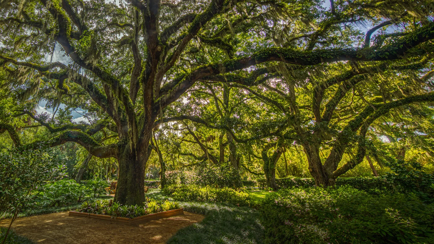
Soapstone Yucca trio, White Sands National Park
But now they only block the sun
They rain and they snow on everyone
So many things I would have done
But clouds got in my way
I’ve looked at clouds from both sides now
From up and down and still somehow
It’s cloud illusions I recall
I really don’t know clouds at all

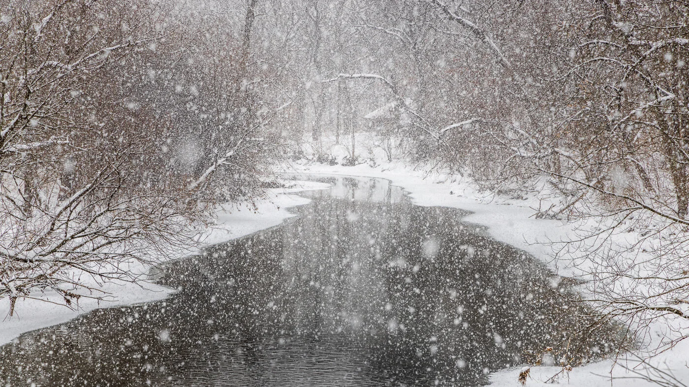
Lincoln National Forest, New Mexico
My friend Judy introduced me to the music of Pat Metheny in college, and then she snagged tickets to Joni Mitchell’s tour performing Charles Mignus inspired songs with a great jazz band of Metheny, Lyle Mays, Jaco Pastorius, Don Alias, Michael Brecker and the Persuasion. The live album of that tour is my favorite.
Shadows and Light
Every picture has its shadows
And it has some source of light
Blindness, blindness and sight

Sunset, Carlsbad Caverns National Park, New Mexico
She started down her jazz road a few years earlier on Hejira, (with Jaco Pastorius’ bass being amazing on this song), and she was recorded on Scorcese’s great The Last Waltz.
Hejira
We all come and go unknown
Each so deep and superficial
Between the forceps and the stone

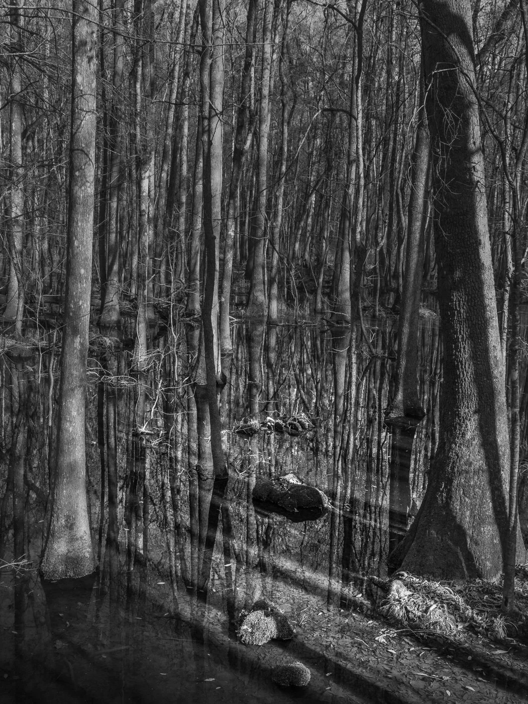
Tracks, Guadalupe Mountains National Park, Texas
Well, I looked at the granite markers
Those tributes to finality, to eternity
And then I looked at myself here
Chicken scratching for my immortality

Socorro Mission cemetery, Texas
In the church, they light the candles
And the wax rolls down like tears
There is the hope and the hopelessness
I’ve witnessed thirty years

Socorro Mission, Stations of the Cross

White Sands National Park
Joni is a painter as well as a song writer and musician, and the visual images in her songs are as vivid as paintings. She recorded Amelia with Jaco Pastorius in 1976 on Hejira, and then again on her live album Shadows and Light four years later, and yet again in 2000. So we’ll end these photo with her word images.
Amelia
I was driving across the burning desert
When I spotted six jet planes
Leaving six white vapor trails across the bleak terrain
It was the hexagram of the heavens
It was the strings of my guitar
Amelia, it was just a false alarm
Salt Basin Dunes, Guadalupe Mountains National Park