Five national park sites stretch across about 120 miles in southwest Pennsylvania near Pittsburgh. Four of those sites commemorate people and events from colonial through industrial times. The fifth site commemorates an event early in this century which will be visited in a future post.
Friendship Hill National Historic Site 1789-1832
Five years after Swiss-born Albert Gallatin emigrated to America in 1780, he became a citizen by swearing allegiance to the State of Virginia. The next year he bought a 370 acre farm on the western edge of the new country on a hill rising above the Monongahela River in western Pennsylvania.
After helping draft the Pennsylvania constitution, he was elected as U.S. Senator and then Congressman. He expanded his farm to over 1,000 acres, built his home and established factories in the area. As he promoted western development of the new country, Thomas Jefferson selected him as his Treasury Secretary, where he helped finance the Louisiana Purchase, the Lewis and Clark expedition, and development of a national road and canal system. He continued in the position under President Madison and remains the longest serving Secretary of Treasury. His statue stands outside the U.S. Treasury building. When I worked for the Treasury Employees Union, the Gallatin Award was the highest achievement a member could receive.
Albert Gallatin
He served on the delegation for the Treaty of Ghent to end the War of 1812, served as U.S. Minister to France and Great Britain, and helped establish New York University. He published many studies on Native American Indian languages and tribes, and theorized on their movement to the continent from Asia. In 1843, at age 83, he declined President Tyler’s request to again serve as Treasury Secretary. By 1832, he sold his western properties including Friendship Hill. He died in 1849.
Oak Allee entrance to Friendship Hill
Friendship Hill
The park has over nine miles of trails through woods and along the Monongahela River. When we visited, a nearby high school was celebrating homecoming, so the grounds were filled with teenagers in high fashion recalling the soiree Gallatin held on the grounds for the Revolutionary hero the Marquis de Lafayette as huge crowds greeted him across America.
Friendship Hill NHS river trail
Ft. Necessity National Battlefield 1754, 1827
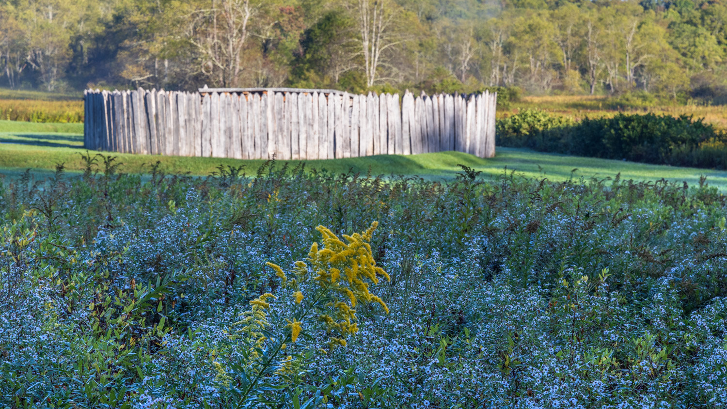
The opening battle of the French and Indian War was fought at Fort Necessity in 1754. After his commander was killed, 22 year old George Washington was promoted to colonel, and he commanded the small fort and stockade his troops built in the Great Meadows, an unusually open area in the wooded terrain. About 25 miles from Friendship Hill sits Fort Necessity.
Fort Necessity National Battlefield, Pennsylvania
Washington commanded nearly 400 British American troops, but he failed to retain his Indian allies. After a nearly all day battle on July 3 against a larger French and Indian force, Washington surrendered for the only time in his career. The loss of the battle and many soldiers significantly affected his command of American forces twenty years later. The French and British would continue to fight across the Ohio River valley, the Great Lakes, the Atlantic, India and Europe for the next nine years—and call the conflict the Seven Years’ War. Hmmm.
National Road Heritage Corridor — Mount Washington Tavern
The park site also commemorates the National Road that Albert Gallatin helped lead to passage through Congress. Construction began in 1811 in Cumberland, Maryland, and ended in 1839 in Vandalia, Illinois by the state capitol before it moved that year to Springfield. The construction of the National Road to that western outpost undoubtedly influenced Abraham Lincoln who was then serving his one term in Congress and working for national infrastructure expansion. (Coincidently, Vandalia and Friendship Hill are both located in counties named “Fayette”—two of many locations across the country named for the Revolutionary hero after his tour of the country.
The tavern shown above was one of the first buildings along the National Road. George Washington had acquired the lands around the old battlefield, and it was eventually sold to Judge Nathaniel Ewing who built this tavern in 1827 on the edge of the battlefield next to the new Road.
Johnstown Flood National Memorial 1889
For now we’ll go past the next National Memorial for a later visit and head on another 70 miles to the site of the May 31, 1889 dam break and flood that was one of our country’s greatest disasters leaving over 2,200 dead in a flash.
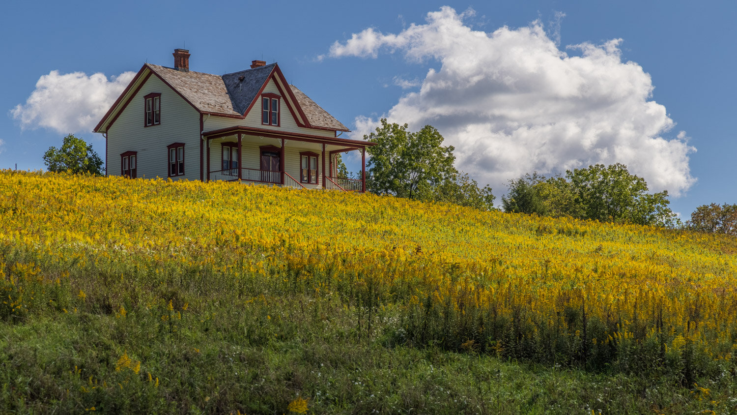
Unger Farmhouse, Johnstown Flood National Memorial
The Unger Farmhouse overlooked Lake Conemaugh formed by the earthen dam across the South Fork of the Conemaugh River. When the dam was repaired and raised in 1879, engineers recommended improving the outlets to drain high water. The recommendations were ignored. Unger was president of the South Fork Fishing and Hunting Club and wealthy industrialists from Pittsburgh built “cottages” above the lake. Heavy rains in May continued until the water finally went over the top of the dam since there were inadequate outlets. At 3:10 p.m. the dam broke with 20 million tons of water and debris 75 feet high flying down the river wiping out bridges, towns, train tracks, and within an hour reached Johnstown.
Former dam wall
The large mill town, on one end of the Allegheny Portage Railroad was destroyed leaving thousands homeless and causing rampant disease. Clara Barton led the American Red Cross on its first major relief effort here as a flood of help came from around the world.
Allegheny Portage Railroad National Historic Site 1834-1857
The National Road was but one effort to open access to the West. New York State opened the Erie Canal in 1825 to link the coast with the Great Lakes. Pennsylvania’s effort to catch up was called the Main Line of Public Works. In 1832, Philadelphia began expanding its new railroad 82 miles west to Columbia on the Susquehanna River. There a canal was being built to take traffic further west. Meanwhile, another canal was being built east of Pittsburgh to Johnston. The problem: 36 miles and the 3,000 foot tall Allegheny Mountains stood between the two canals.
Engine House 6 on the summit of the Allegheny Portage
The solution was to create a railroad line that was like the canal’s locks to connect the two canals and take boats, goods and passengers between the canals. The train tracks would go up five inclines on each side of the summit with levels in between — a railroad to portage the canal traffic.
Interpretive Ranger stone cutting demonstration
The tracks were laid on huge stone blocks that would be quarried along the track. Using hand drills, the immigrant workers broke off stone blocks, hewed them to the correct shape and attached anchors for the tracks to be attached to. A full 12 hour work day would produce one stone.
Stone cutting
In addition to the locomotives moving freight and passengers up each level and incline, there would be an engine house at the top of the incline where stationary steam engines would raise and lower rail cars by hemp cord and then iron cords.
Engine House 6
Passengers and crew would have breaks of 10 to 20 minutes at the engine houses when the freight was transferred from one incline to the next. Like today’s rest stops on Interstate Highways, taverns would open to serve the passengers and workers. The Lemon House Tavern was built in the 1830s.
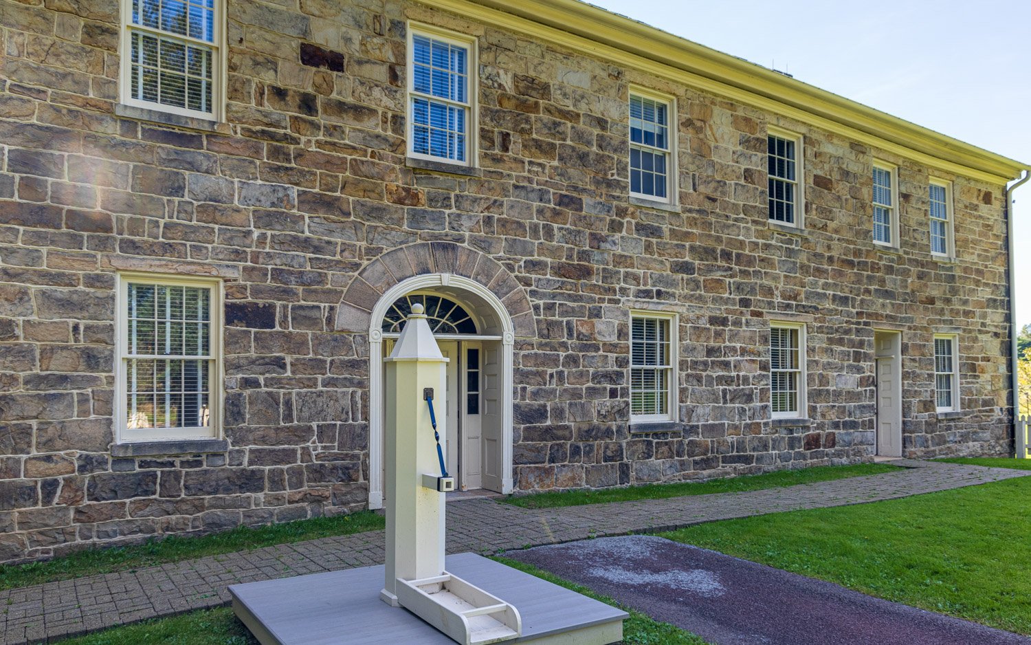
Lemon House Tavern, Allegheny Portage National Historic Site
The central hallway would be the primary stop, though men could head to the bar or ladies and children to the parlor, or those with more time to the dining room.
Dining Room - Lemon House Tavern
My bridge engineer son tells me skew bridges are among the most challenging to design. Not unlike today’s contract bidding, the railroad line and local government had differing requirements and challenges for the engineers. The bridge to take the old wagon turnpike over the railroad tracks would need to be angled—or skewed—to satisfy both since the train tracks needed to be a straight line and the wagons couldn’t make right angle turns. A century later when a highway would be built, the road engineers had to figure out how to preserve the historically significant bridge and rail line, so the bridge still stands, now in the median of the roadway.
The mountain was conquered, and the Allegheny Portage Railroad was completed in 1834 and operated until 1857. The 23 day trip from between Philly and Pittsburgh was cut to four days. Hope you enjoyed the ride.
Skew Arch Bridge


